Back to the Camp Tibor and Sites of Slave Labour (at Dannes) trail
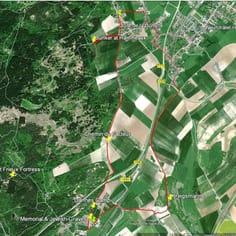
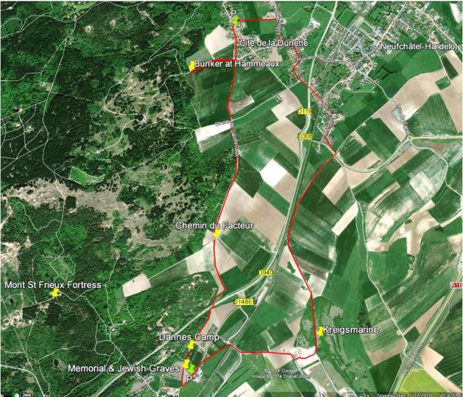
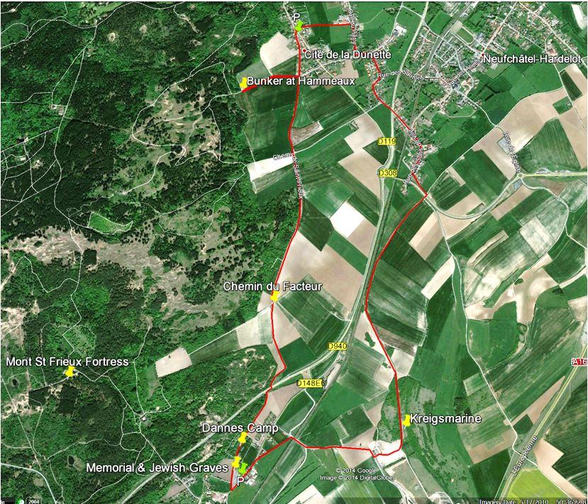
Trail Map - Main Route in Red
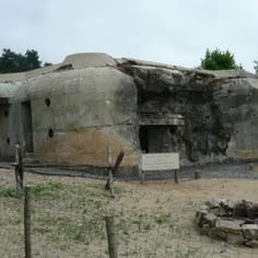
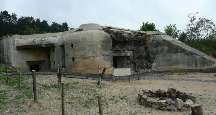
The German 'Tobruk' Bunker near Dunette constructed with forced labour. The Tobruk design was introduced by Rommel when he was in charge of the construction of the Atlantic Wall
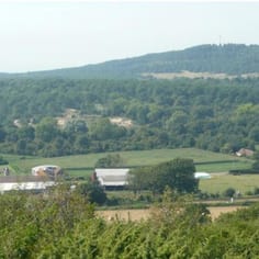
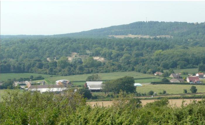
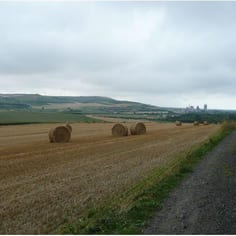
An over-view of the site of Camp Tibor (large corn field in middle and wooded area behind). Mt St Frieux is in the background (note radar mast)
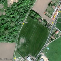
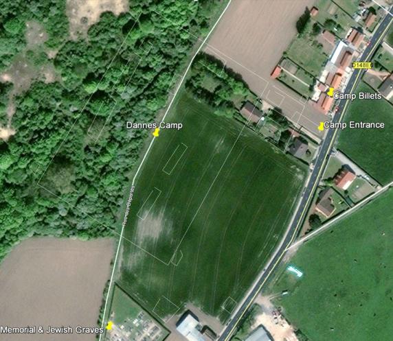
A Plan of Camp Tibor (an over-lay on the current landscape from a WWII aerial photograph) Mapping: Google Maps 2014
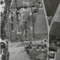
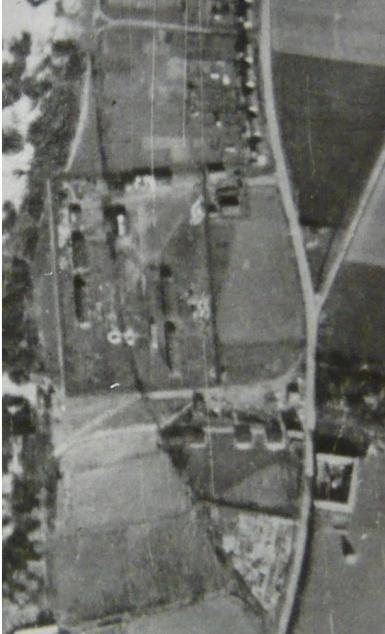
Lager Tibor in a WWII aerial Reconnaissance photograph (Photo: Public Record Office Kew)
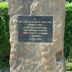
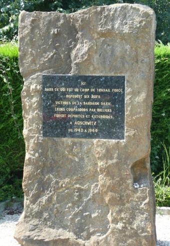
The Memorial to the Jewish Slave Workers buried at Dannes Cemetery
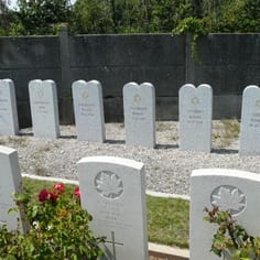
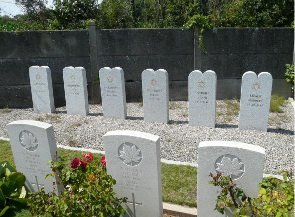
Jewish Slave Worker Graves at Dannes Cemetery (row at rear, behind Commonwealth War Graves)
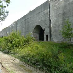
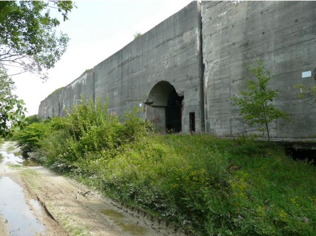
The Kreigsmarine a giant naval munitions store built with forced labour
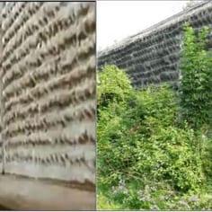
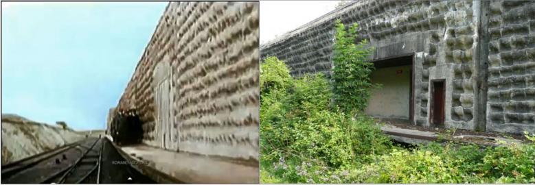
A still from a German Propaganda film showing Rommel inspecting the Kreigsmarine soon after completion (note the railway line and platform running the whole length) and the exact location today.
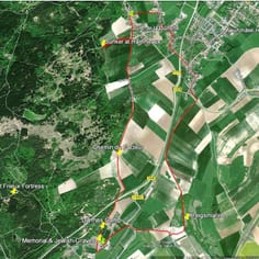
Trail Map - Main Route in Red