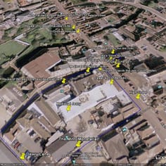
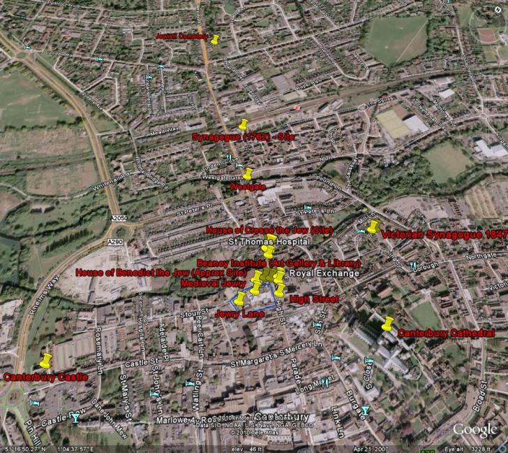
Canterbury JTrail Map - Central Area
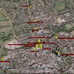
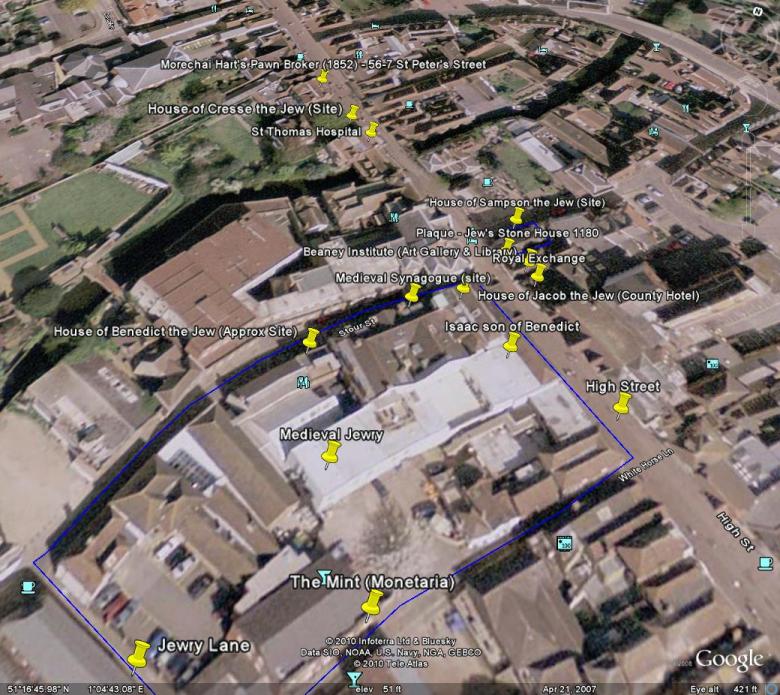
Canterbury JTrail Map showing all sites
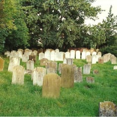
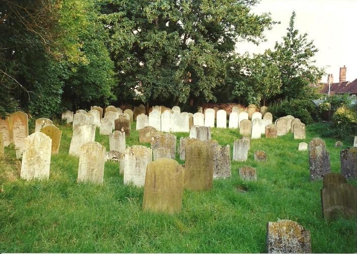
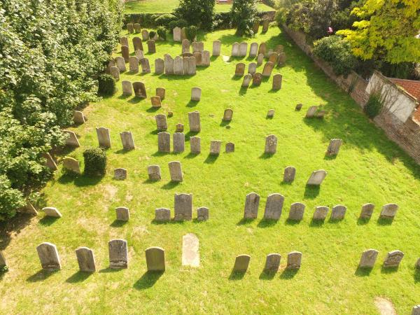
Canterbury Jewish Cemetery (before restoration)
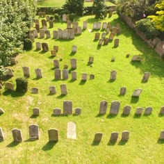
The Jewish Cemetery, showing it in its current restored state.
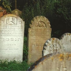
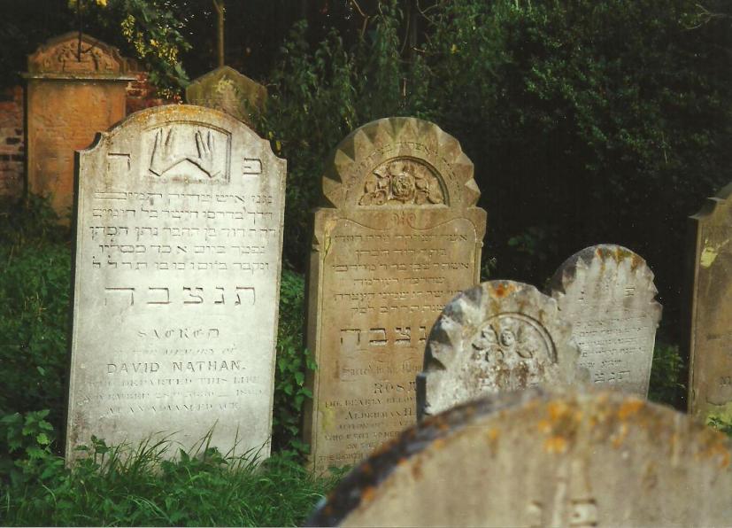
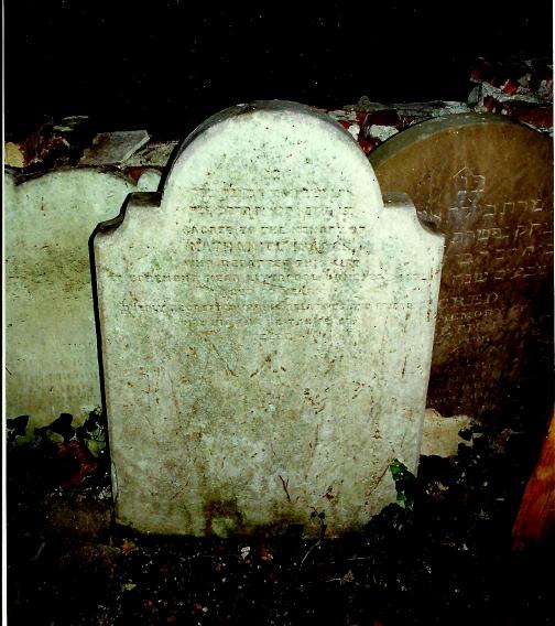
Fine memorials in Canterbury Jewish Cemetery, including one to Rosa Hart, the first wife of Alderman Hart
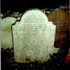
The tombstone of Nathaniel Isaacs the noted African explorer in Canterbury Jewish cemetery
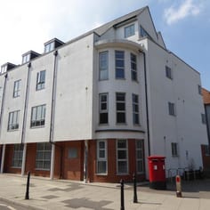
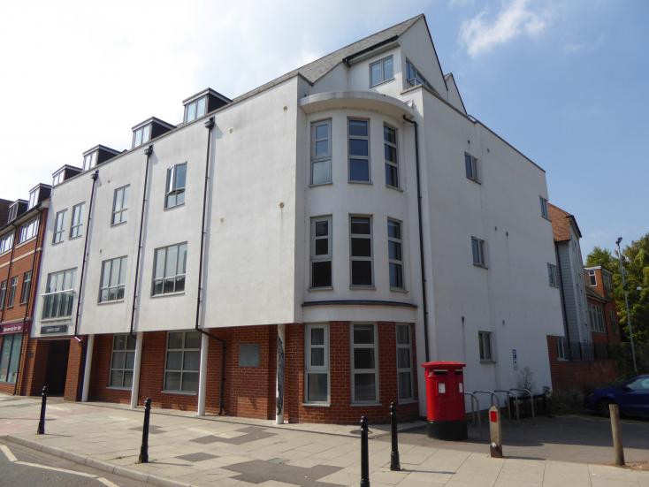
The Site of the Synagogue Of 1762 - Westgate and St Dunstan's Street. Recent excavations revealed remains of the North wall of the former synagogue nest to the railway station car park.
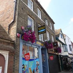
Modechai and Henry Harts' Business premises, 56 and 57 St Peter's Street
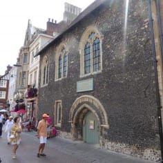
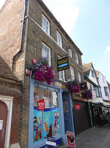
The site of the former House of Cresse the Jew next to (i.e. to the left) of St Thomas Hospital. The former hospital was a familiar landmark to the medieval Jews of Canterbury.
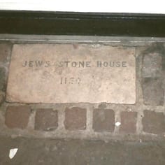
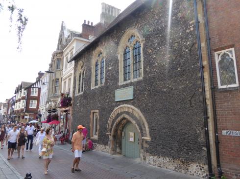
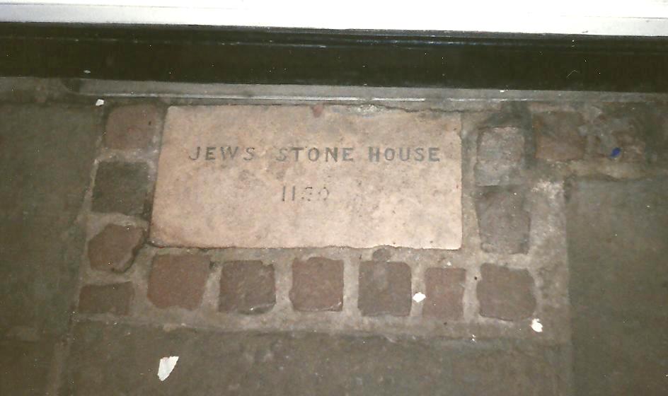
A plaque (incorrectly) recording the site of a medieval Jew's house identified by Adler in the 1930s, opposite the junction with Stour Street
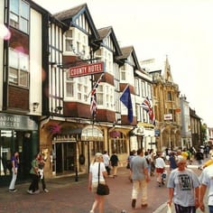
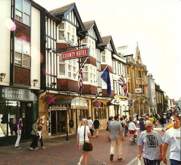
The County Hotel the site of the house of Jacob the Jew
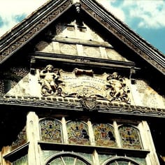
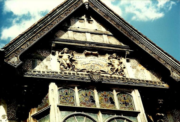
Inscription on the Beaney Institute - Henry Hart was instrumental in establishing the institute
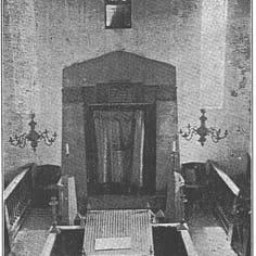
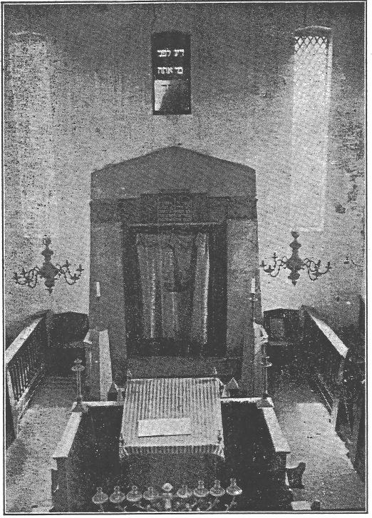
Canterbury Synagogue at its closure in 1932, with original fixtures
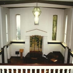
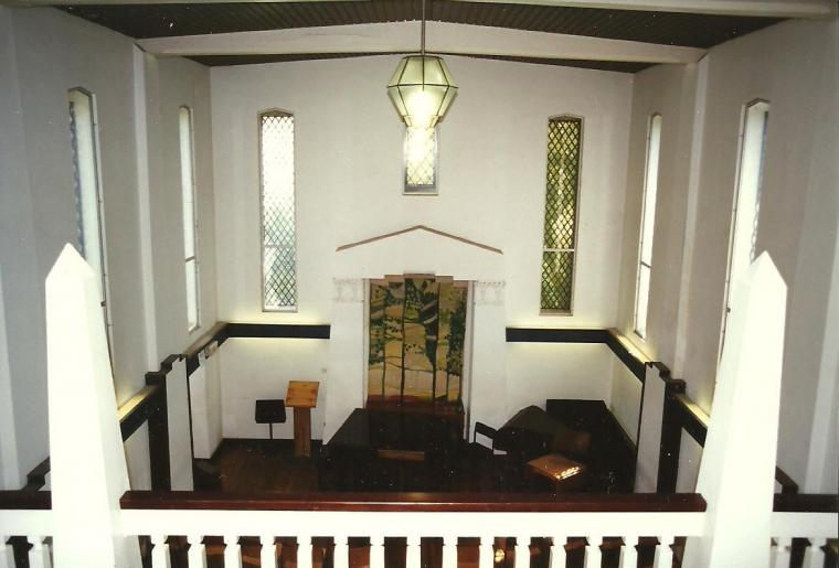
Canterbury Synagogue (view of interior from ladies gallery looking to the location of the former Ark showing Egyptian style)
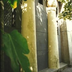
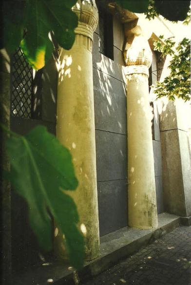
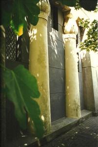
Canterbury Synagogue (view of Egyptian pillars at front)
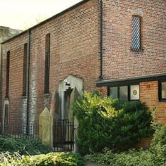
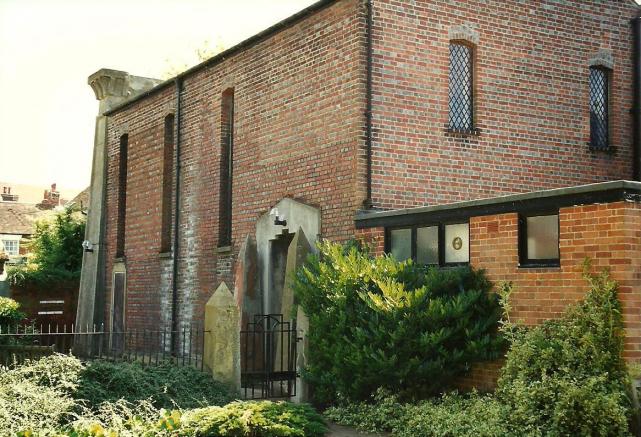
Canterbury Synagogue (view from side)
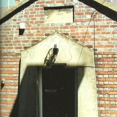
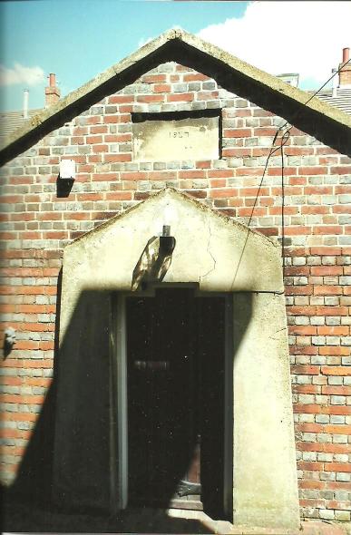
Canterbury Mikveh (ritual bath) building of 1847 next to synagogue
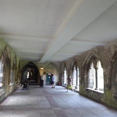
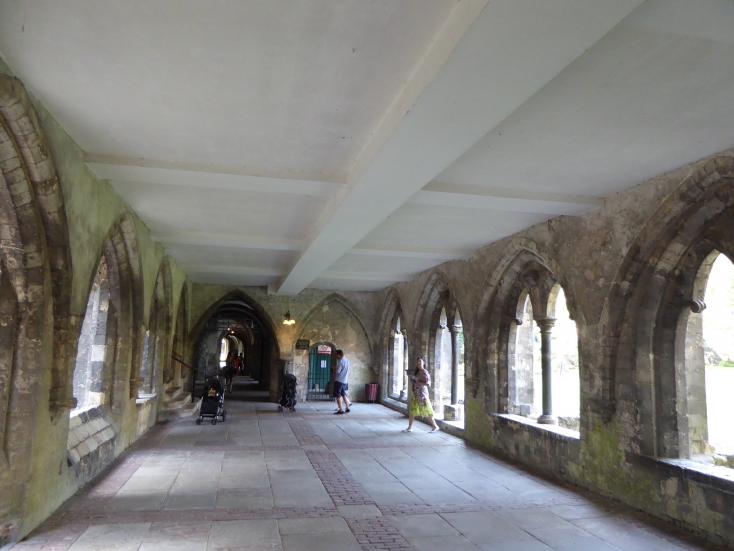
Canterbury Cathedral - the surviving sub-vault of the Priors Chapel which was partly financed with Jewish loans in 1226.
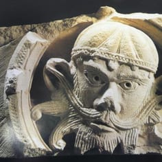
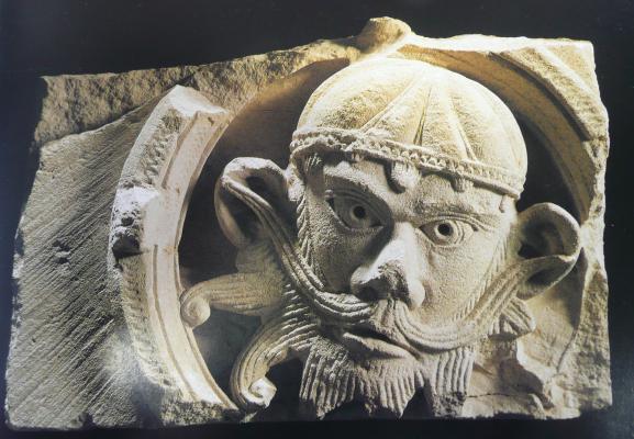
A medieval Jew depicted as a Demon in the Crypt of Canterbury Cathedral.
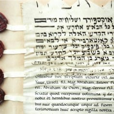
Part of a contract produced in 1931 in the medieval style to record the temporary loan of two Torah scrolls to the Oxford congregation when the Canterbury synagogue closed
Search
Photo Gallery - Canterbury


A visit to Canterbury is always well worth the effort and worth a special visit. The city is of exceptional interest, with its rich history, and buildings of national importance - its Cathedral and the ruins of St Augustine's Priory, the Castle and city walls, and a large number of surviving medieval and post medieval buildings in the city centre.
Added to this there is a rich Jewish history to be discovered in Canterbury both from the medieval and modern period. The sites of the medieval Jews are readily traceable and there are strong historical associations with more modern buildings such as the County Hotel
Read More