Back to the Jew's Road (Chemin des Juifs) trail
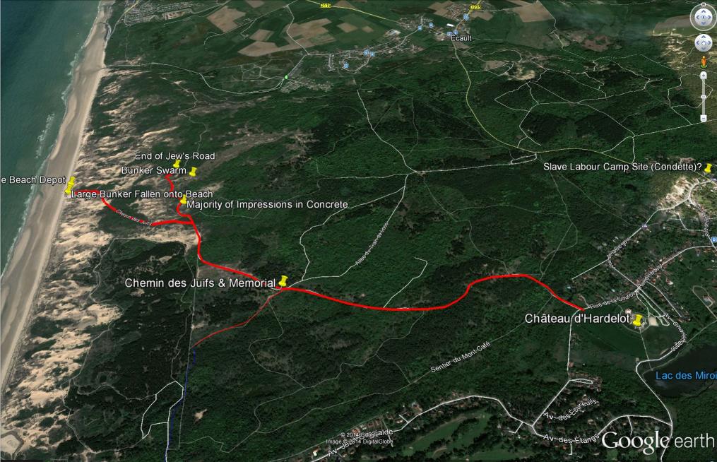
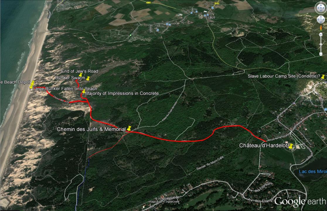
Trail Map for The Jew's Road (Chemin des Juifs)
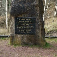
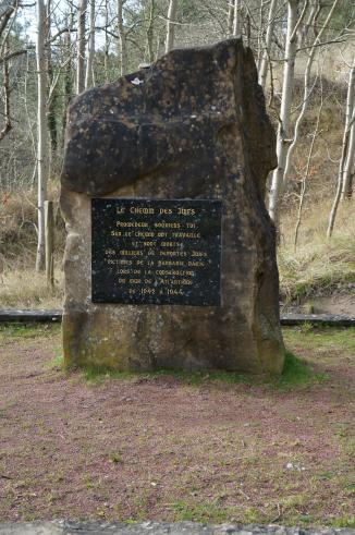
The Jewish Memorial on the Jew's Road (Chemin des Juifs)
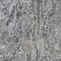
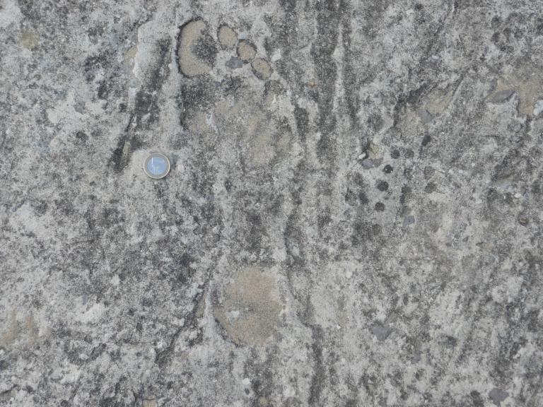
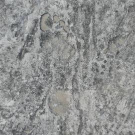
A Bare Foot Print on the Chemin des Juifs next to a Hob-nailed German Army Boot Mark. It is alleged that prisoners were punished for sabotage by having to labour with no shoes. This could lead to death.
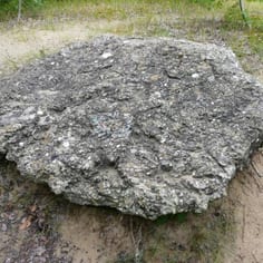
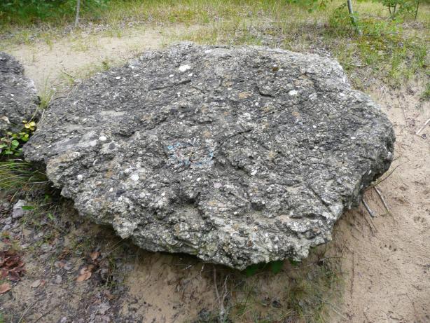
A Block of Spoiled Concrete by the side of the Jew's Road - Perhaps the result of sabotage?
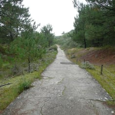
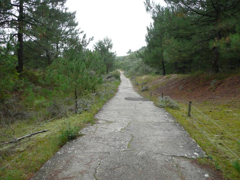
The Jew's Road continues after the Memorial, progressing through the different sections of the extensive sand dune system towards the sea.
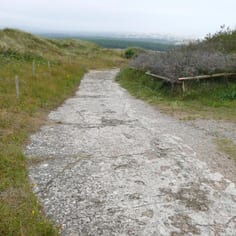
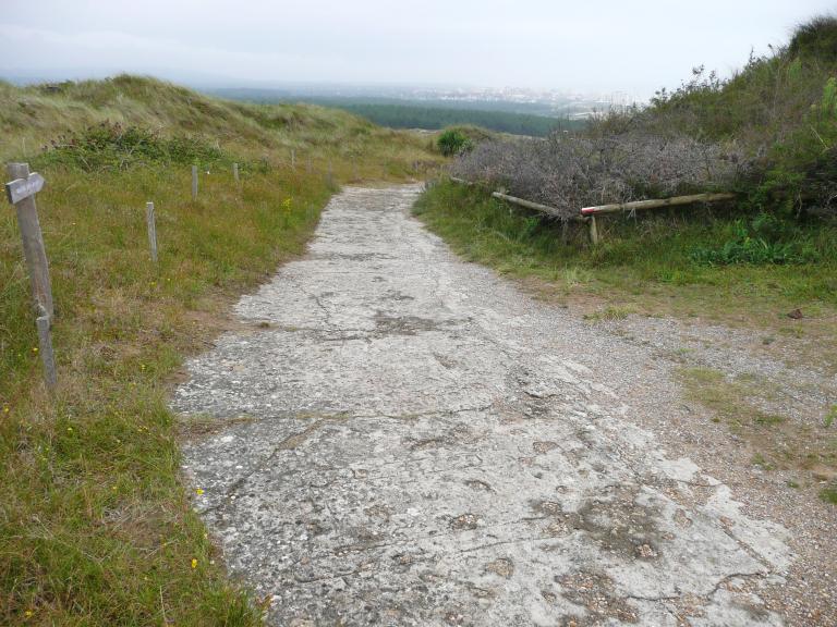
The View Point at the HIghest Point of the Jew's Road Looking towards Hardelot and Mt St. Frieux. Many Foot Prints are Visible, as well as the Traces of Light-Railway Track (fore-ground).
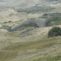
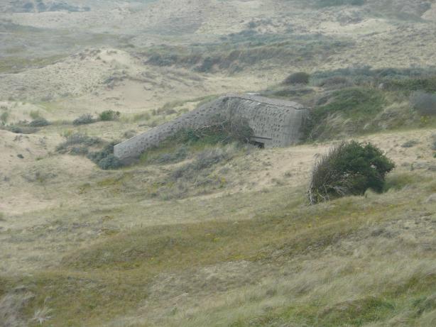
One of a Large Number of Bunkers at the High Point of the Jew's Road. Pockets in the Concrete were created to allow grass to grow over the bunker, by using screwed-up paper when the concrete was wet.
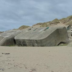
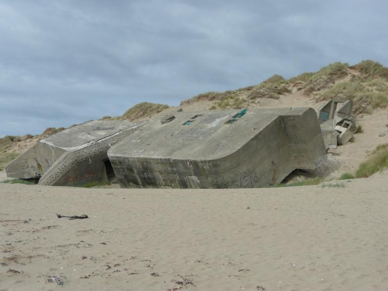
Fallen Block Houses on Hardelot Beach. They were originally on the top of the dunes, but erosion has caused them to fall to the beach.
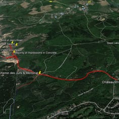
The Jew's Road (Chemin des Juifs) Trail Map