Back to the Nord Pas de Calais Camps Trail trail
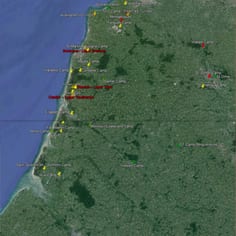
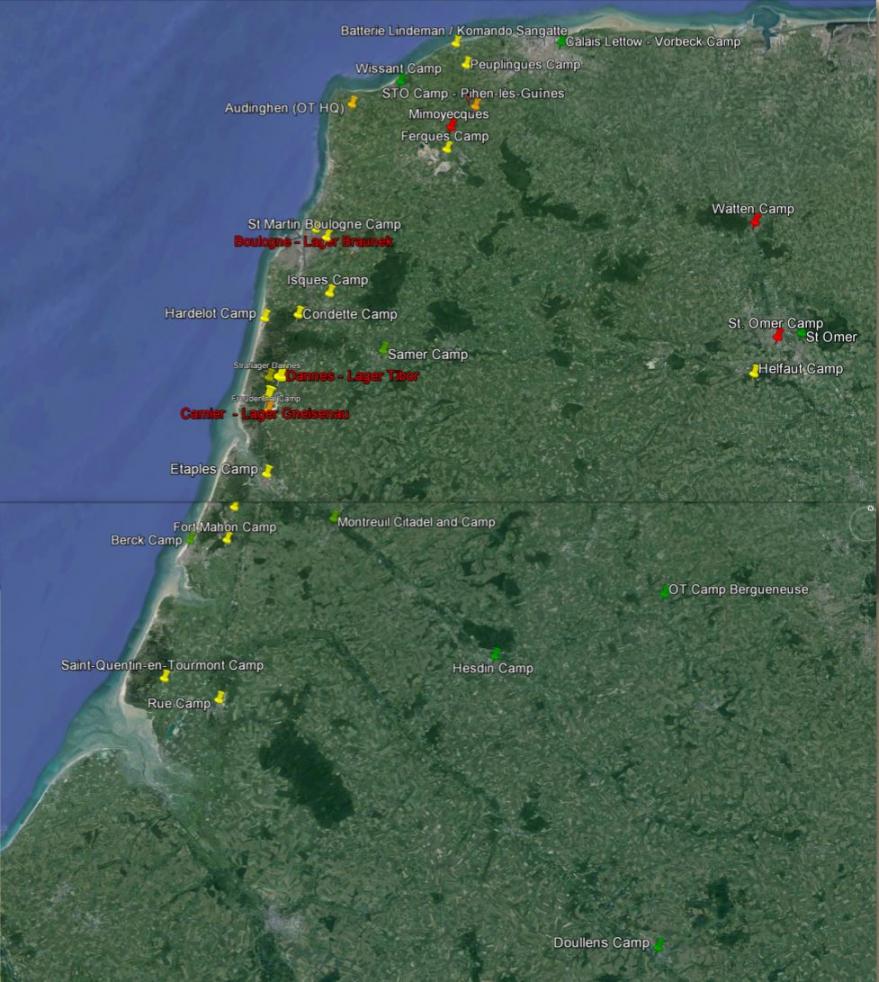
Map showing the main Holocaust and slave labour sites in Nord Pas de Calais. The map shows the main coastal camps in Nord Pas de Calais, as well as in-land V-Weapon sites shown with red pins. The yellow pins represent camps that were exclusively for Jewish deportees, the green pins represent camps that had a significant Jewish presence at some stage in their history and were also used for other cohorts of prisoners. STO camps are in orange. The main and most permanent camps are high-lighted in red.
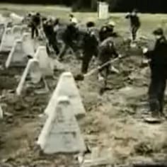
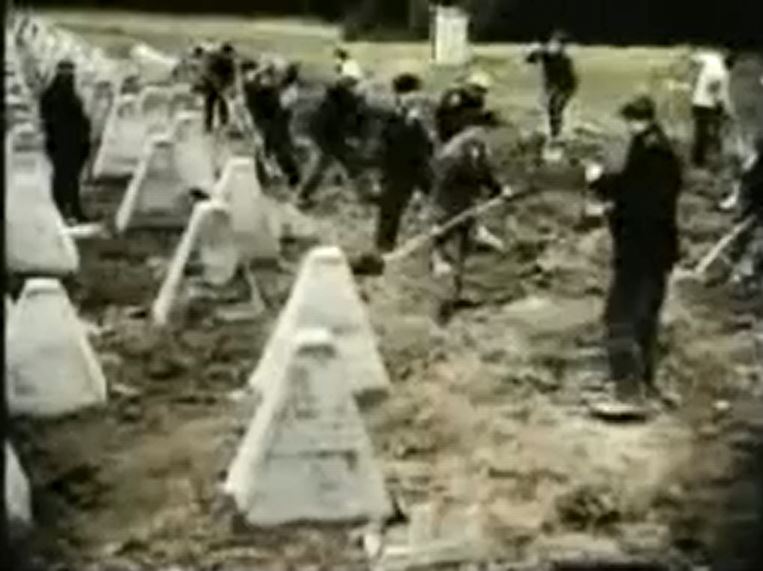
French STO workers labouring on the Atlantic Wall. These French civilians were obliged to work for the Vichy / German regime and while they were paid and had leave passes, were often placed in terrifying danger.
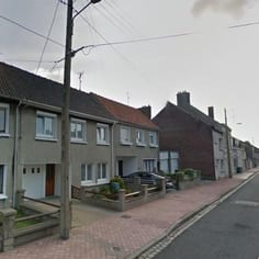
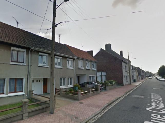
The site of the Calais Camp at 42 Rue Chateaubriand. The gate on the left is the south boundary of the former camp.
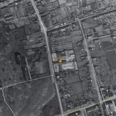
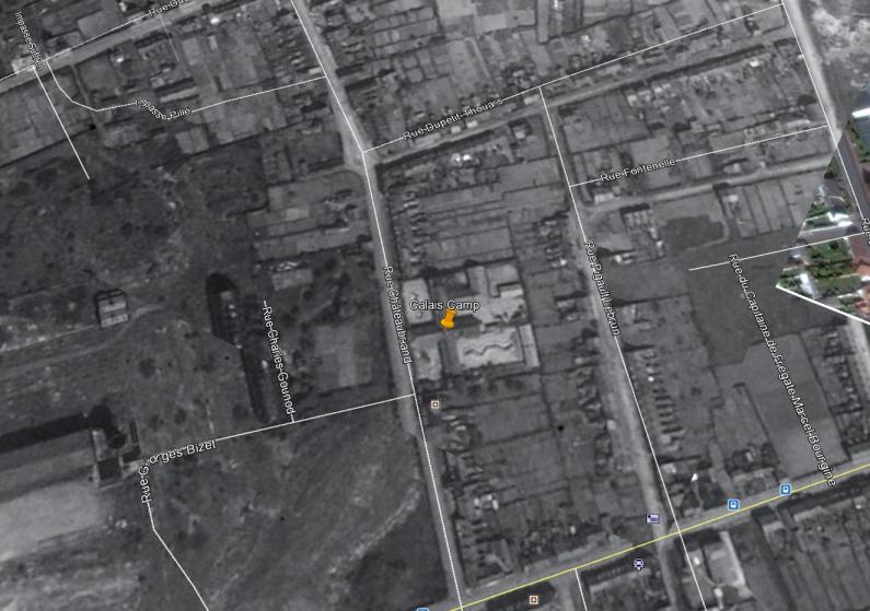
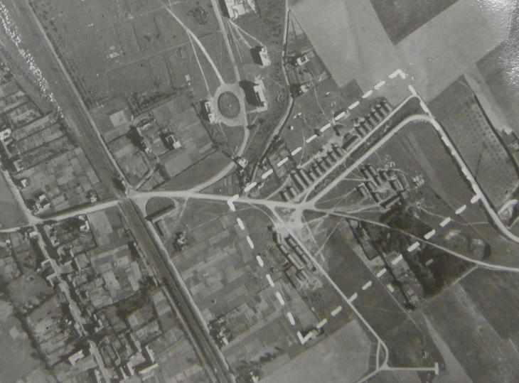
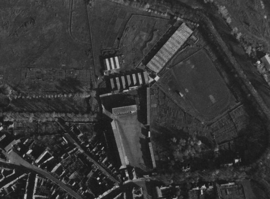
War-time Image (with modern labels) showing the Calais Camp which was a major camp situated at 42 Rue Chateaubriand and the camp was housed in an old girls' school. The site of the camp and its location was identified by JTrails.
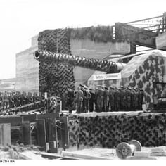
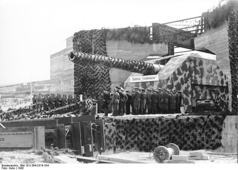
The Sangatte camp is important as it was the first Jewish camp in the Nord Pas de Calais. The main work was in the construction of the mighty Lindemann Batterie (pictured) on Mount d'Hubert.
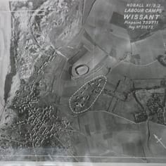
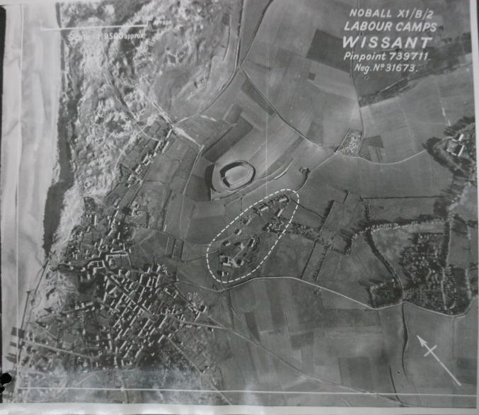
An Allied aerial reconnaissance photograph of a labour camp at the edge of Wissant--it may well be OT Lager Prinz Eugen. This was not a Jewish camp.
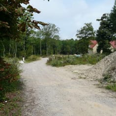
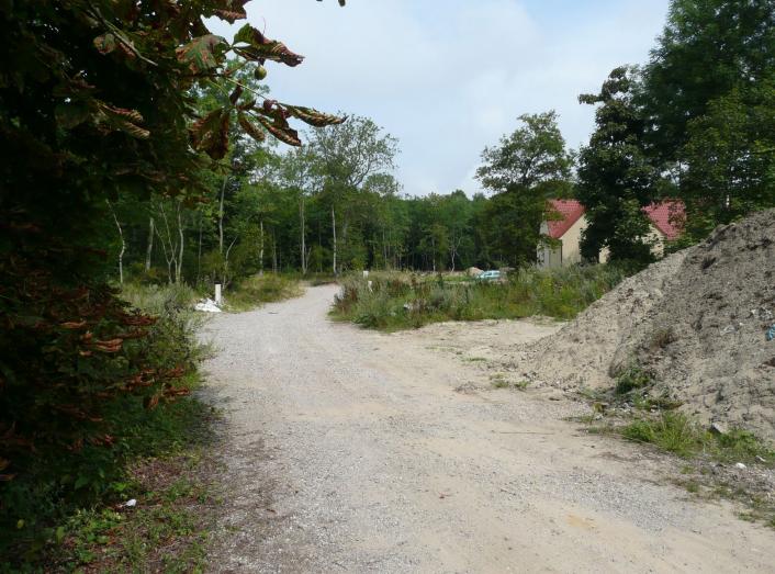
The exact location of the Camp at Condette is not certain, but it is claimed that it was just off the road exit from the village to Ecault on the site of the new development 'Parc du Rouvre'.
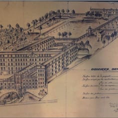
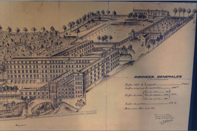
Camp Brauneck, which was situated pm the upper floor at Lycee Mariette, in Boulogne, obtained a notorious reputation among Jewish deportees for wonton cruelty, over the time of its operation. Here the school is depicted in 1905.
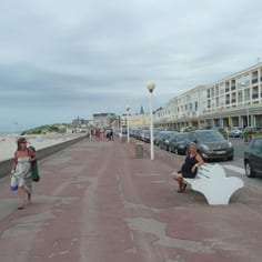
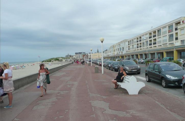
Berck Plage today, looking northwards along the sea-front. in the direction of the former Jewish camp and worksite.
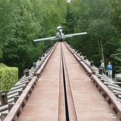
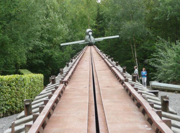
A VI Rocket and launch ramp reconstructed at the Eperlecques blockhouse. Many slave workers were employed on V-Weapon project all across the region.
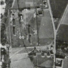
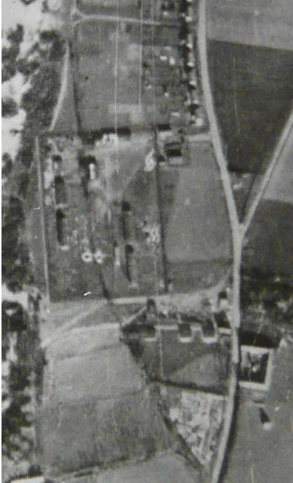
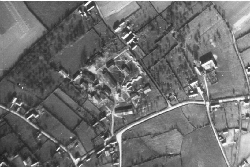
Lager Tibor shown in a war-time aerial image. The main compound and huts can be seen with the Chemin du Facteur running through the middle.
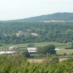
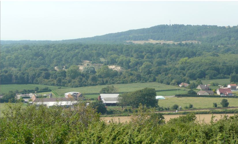
The site of Lager Tibor today. The camp was in the empty field in the centre of the picture, next to the woods.
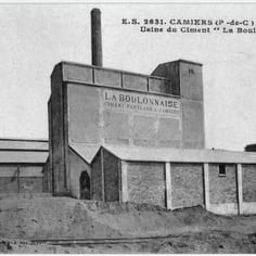
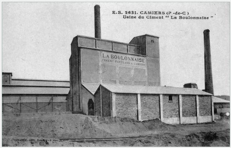
The Boulonnaise cement factory at Dannes. Sick prisoners from Lager Tibor were finished off with hard labour in the chalk quarry and their remains allegedly burnt in the factory kilns.
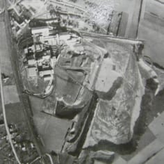
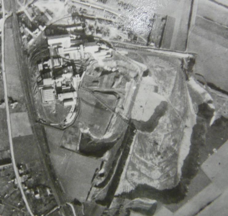
The cement factory at Dannes. The chalk quarry can be seen to the mid-right of the picture (see shadow of chalk face). Sick prisoners were worked to death in this pit.
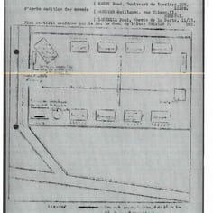
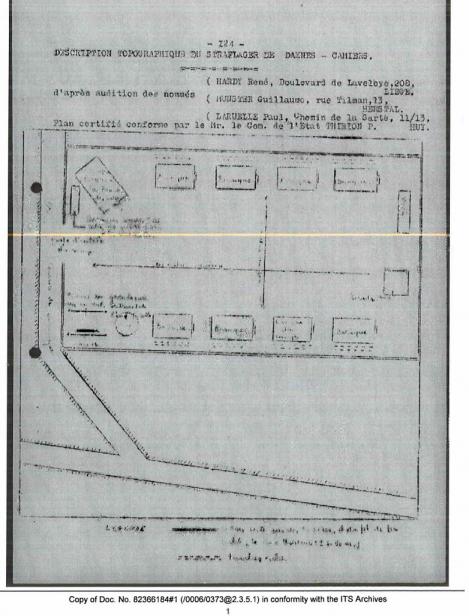
A plan of the Straflager, or Punishment Camp, near to Dannes. This was for those who refused to work for the Germans as part of the STO programme.
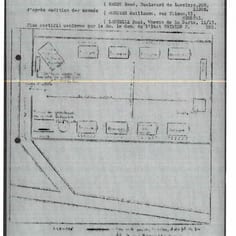
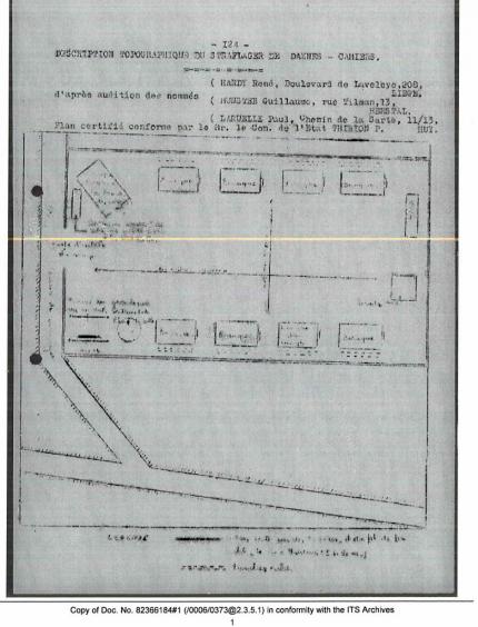
A plan of the OT Straflager at Dannes, or 'punishment camp' which was a punishment camp for STO work refusers from Belgium and Germany. This was not a Jewish camp.
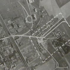
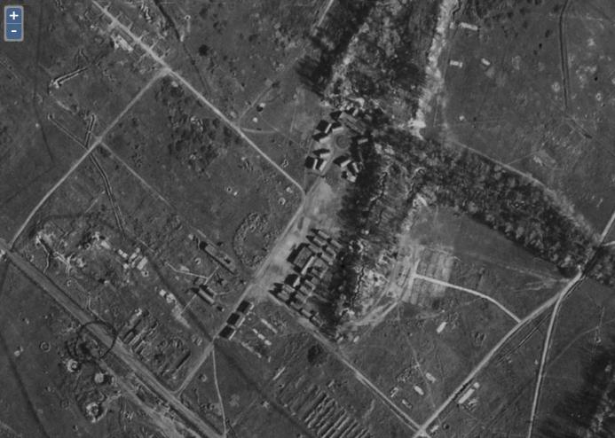
World war II aeriel image of the Camps at Camier. The image appears to show Lager Gneisenau / Lager Freudenthal. Gneisenau was for Jewish and Russian prisoners.
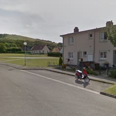
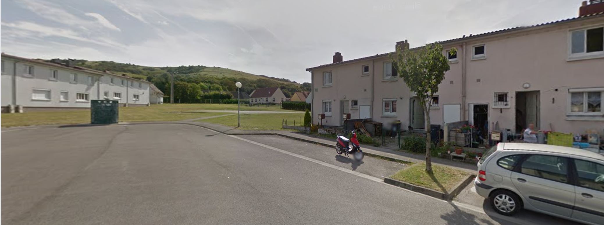
The site of part of Lager Gneisenau / Freudenthal at Residence de la Colline, Camier. Lager Gneisenau was an SS Camp with Jewish inmates and Freudenthal a volunteer camp.
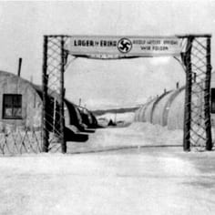
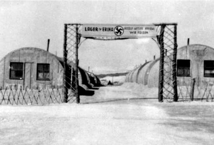
Lager Erika at Etaples - a Jewish camp in one of the most dangerous work-zones on the coastal area.
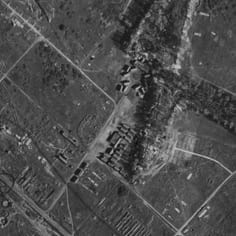
This war-time photograph appears to show the Etaples camp (or Lager Erika). The double row of huts just below centre of the photograph (identified by JTrails) matches the ground level photograph of Lager Erika and its back ground.
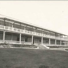
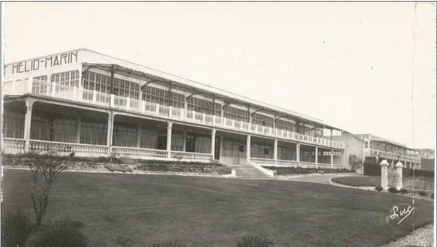
Berck-sur-Plage Camp was based in the empty premises of the 'Institut Helio-Marin' medical facility. Part of the building still survives.
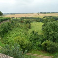
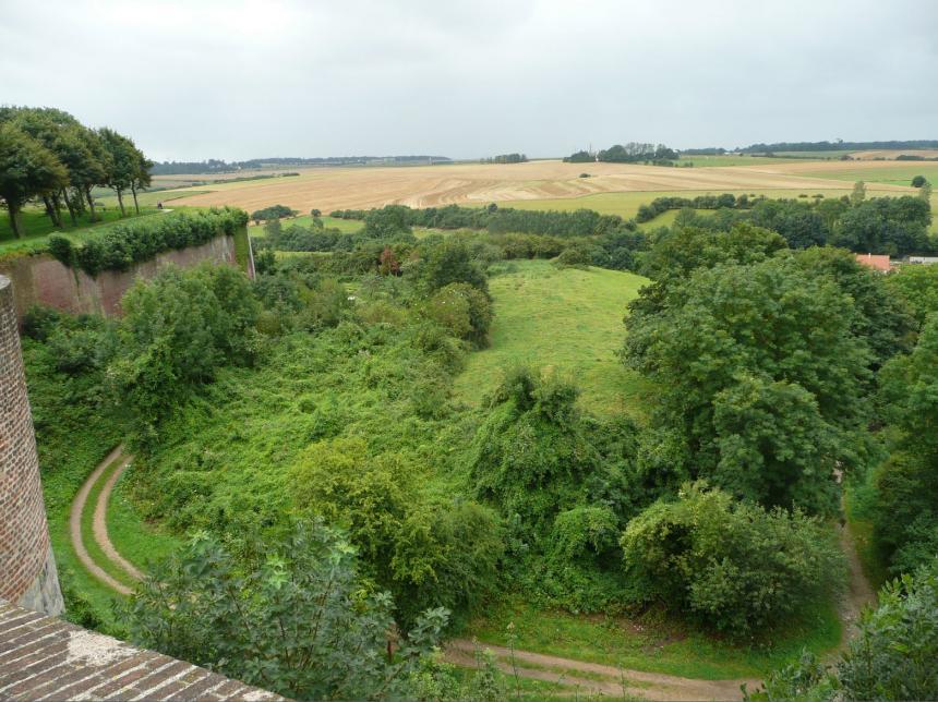
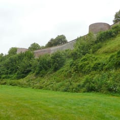
The Glacis and the spoil heap from the construction of the German tunnels, at Montreuil. The spoil heap is in the center of the picture.
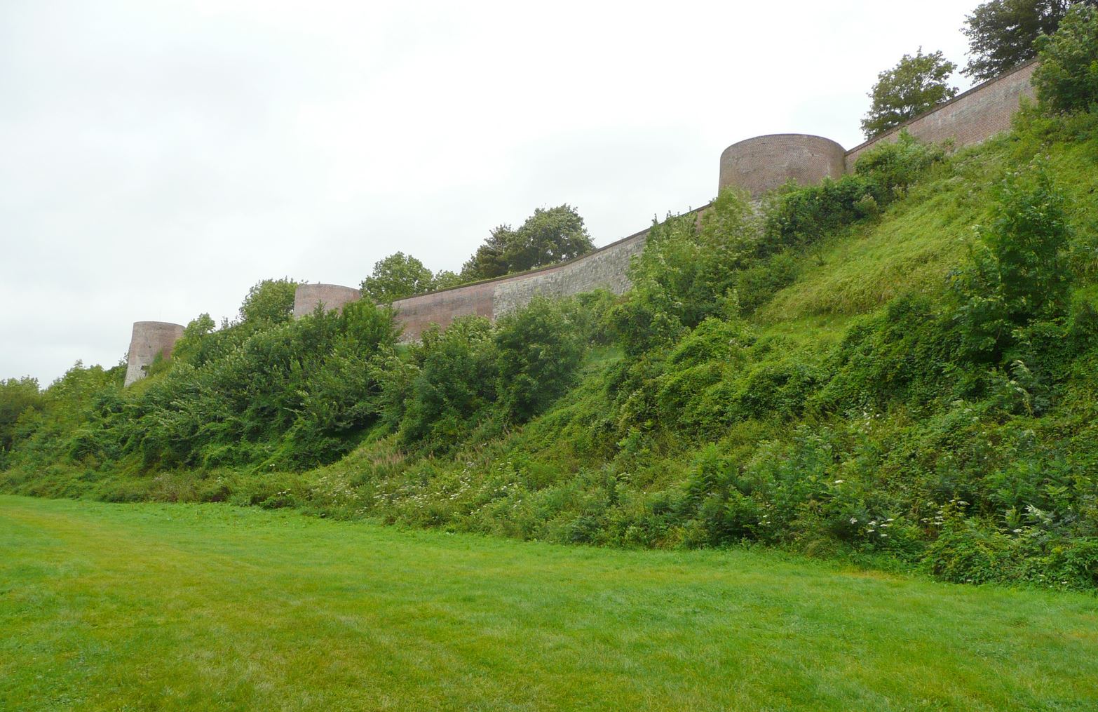
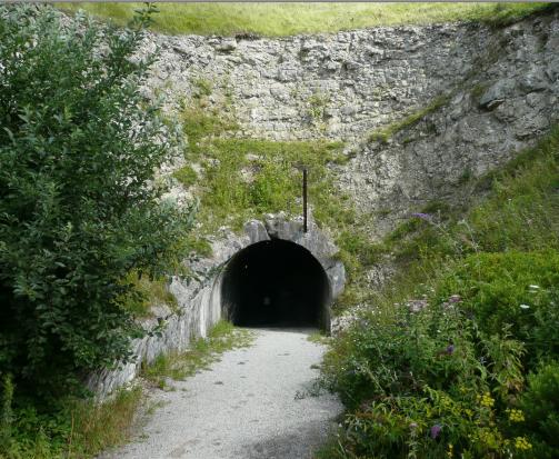
The Glacis and the over-grown entrances to the German tunnels constructed by slave labour, at the foot of the defences at Montreuil.
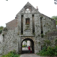
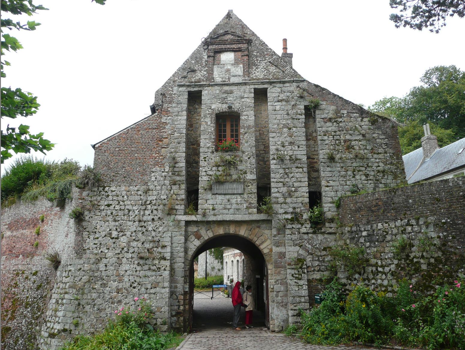
The Citadel at Montreuil which was garrisoned by the Germans and was the site of a camp for slave workers used to construct barracks underneath the town.
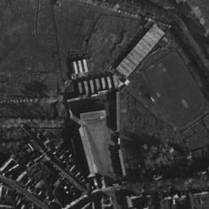
The SS Baubrigade V Camp on the north side of Hesdin. The rows of c. 10 huts can clearly been seen at the former Napoleonic Cavalry Barracks, La Frezelière.
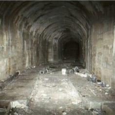
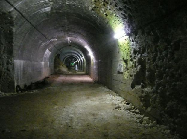
A former V1 and V2 Tunnel constructed under the hill at Bergueneuse with slave labour.
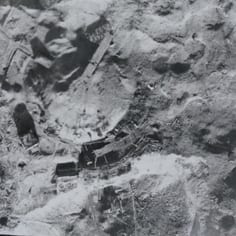
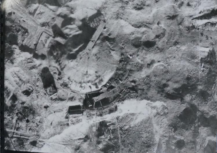
An Allied aerial image showing the Dome at La Coupole (Wizernes)in close-up, with evidence of bomb-craters all around.
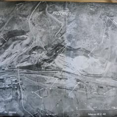
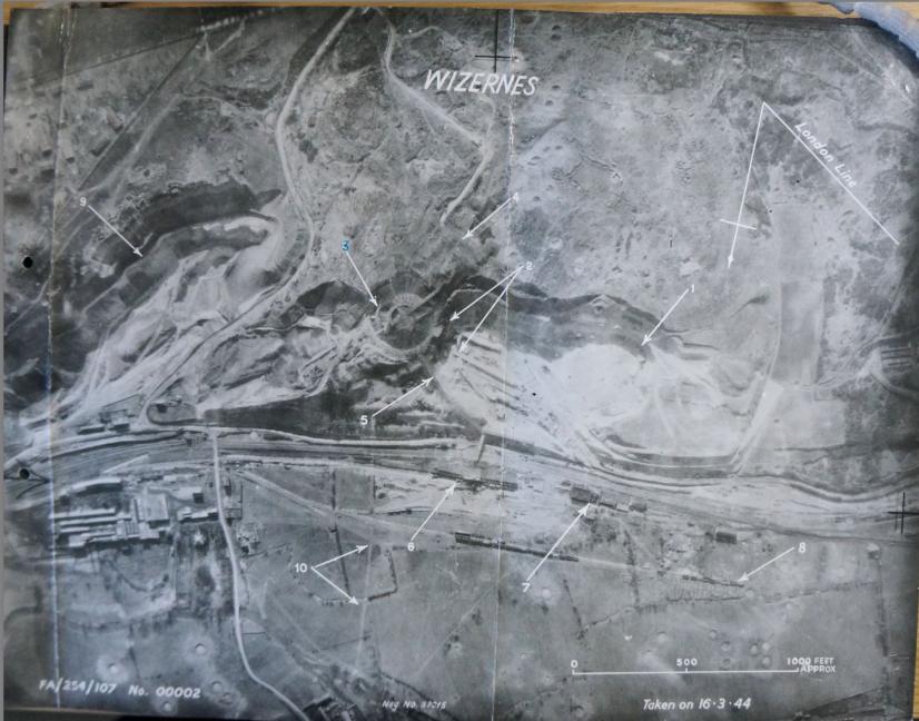
Allied Aerial image of La Coupole (i.e. Wizernes) in World War II, showing the base and the giant dome under-construction.
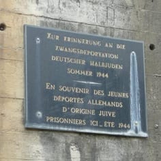
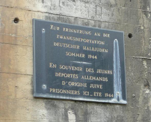
A memorial plaque at Eperleques Blockhouse to the young Germans of Jewish origins who were at the site in 1944. The German inscription makes it clear that the Jews were so-called mischlinge, or half-Jews.
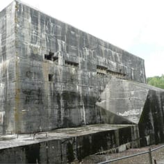
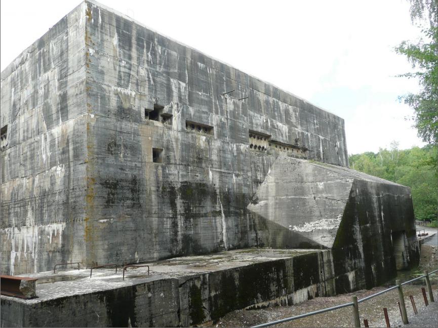
Part of the V2 Blockhouse of d'Eperlecques today. The base was substantially damaged in Allied bombing raids with Tallboy bombs.
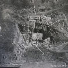
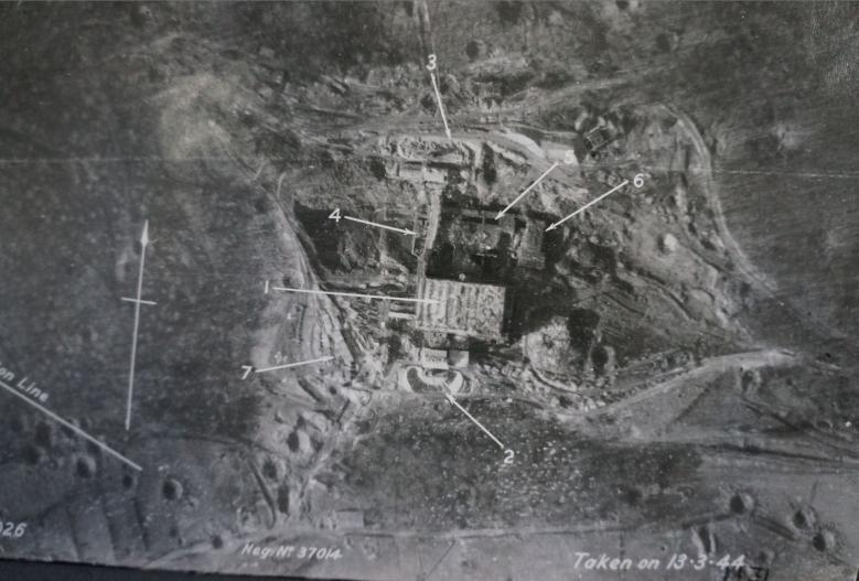
The V2 Blockhouse d'Eperlecques depicted in an Allied aerial image dated 13.3.44. A vast slave labour force was used to construct this V weapon site.
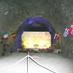
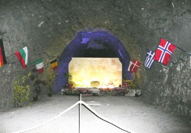
The multi-national War Memorial at Mimoyecques, to the aviators and victims of the raids.
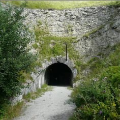
The main entrance to the V3 base at Mimoyecques, which was entered via a Chalk quarry.
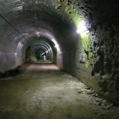
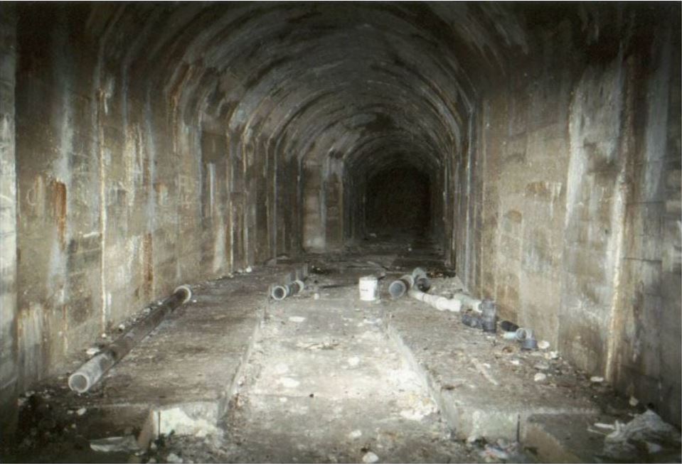
One of the great concrete galleries at Mimoyecques. The V3 'super-gun' site employed many Jewish labourers, as well as political prisoners and volunteers and there was great loss of life following the 'Tallboy Raid'.
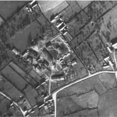
This camp identified by JTrails, appears to the labour camp described in the No-Ball target list as Camp XI/B/4 - WATTEN a/OUEST MONT and b) NORD BROUCK. This appears to be one of the labour camps supplying labour for the construction at the V2 Eperlecques.
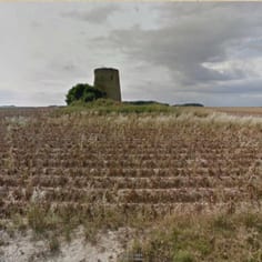
The site of the STO camp at Pihen-lès-Guînes, for French civilian workers obliged to work for the Vichy / German regime, on the road leaving north of the village in the direction of Bonningues.